> ## Documentation Index
> Fetch the complete documentation index at: https://help.bilopt.com/llms.txt
> Use this file to discover all available pages before exploring further.
# 衛星画像を切り替える
衛星画像によって撮影時期が異なるため、築浅の物件は一部の画像にのみ表示される場合があります。
## 衛星画像を切り替える
画面左下のセレクトボックスをクリックすると、衛星画像を切り替えることができます。
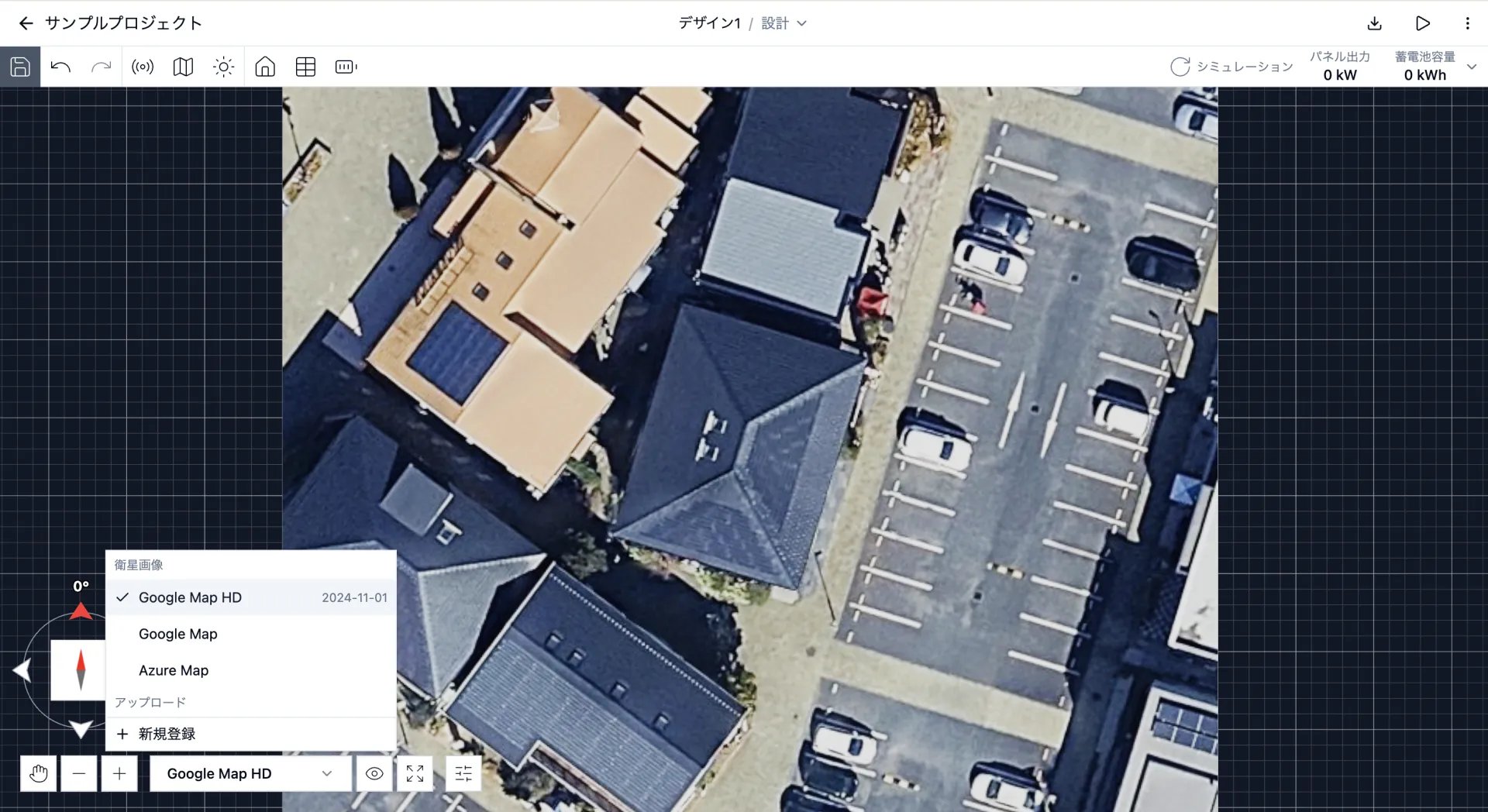 衛星画像は以下のデータソースから取得しています。
| データソース | 特徴 |
| - | - |
| Google Map HD | Google Solar APIから取得した高解像度の衛星写真です。LiDARデータはこの衛星写真に紐づいています。 |
| Google Map | Google Maps APIから取得した衛星写真です。 |
| Azure Map | Azure Maps APIから取得した衛星写真です。 |
## 衛星画像を非表示にする
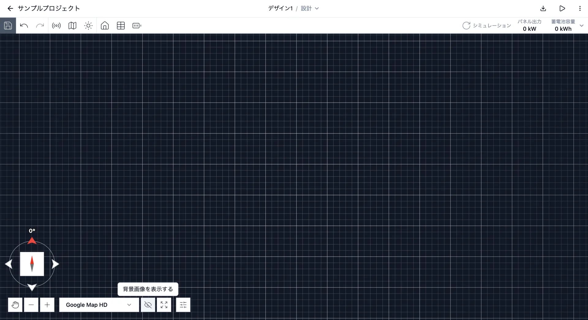
セレクトボックスの右側にある目のアイコンをクリックすると、衛星画像を非表示にできます。
衛星画像は以下のデータソースから取得しています。
| データソース | 特徴 |
| - | - |
| Google Map HD | Google Solar APIから取得した高解像度の衛星写真です。LiDARデータはこの衛星写真に紐づいています。 |
| Google Map | Google Maps APIから取得した衛星写真です。 |
| Azure Map | Azure Maps APIから取得した衛星写真です。 |
## 衛星画像を非表示にする
セレクトボックスの右側にある目のアイコンをクリックすると、衛星画像を非表示にできます。
 This documentation is built and hosted on [Mintlify](https://mintlify.com), a developer documentation platform.